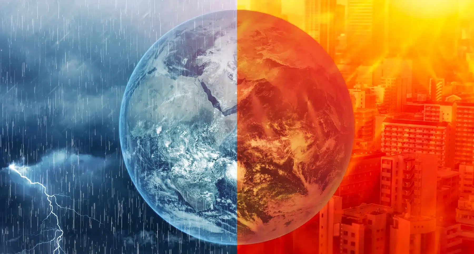
Climate Impact Lab projects 451,000 heat deaths from this super El Niño, with Nigeria, Indonesia and Sudan hardest hit. The same event is holding back Atlantic hurricanes and lifting Argentina’s harvest prospects.
Climate Impact Lab projects about 451,000 excess heat deaths in the first half of this year’s super El Niño. The research group, based at the University of Chicago, puts 239,000 of those deaths between September and February. Nigeria, Indonesia and Sudan top its list.
On 21 September, sea surface temperatures in the Pacific’s Niño 3.4 region reached 3.11C above normal. That beat the daily record of 3.08C, set in November 2015. Models expect a peak near 4.1C later this year.
The Pacific warming that raises death tolls in the Sahel also holds back Atlantic hurricanes and brings rain to Argentina’s farms. Those effects can now be forecast country by country, months in advance. The heaviest costs fall on hot, poorer countries, and most of the gains go to richer farm exporters.
Where the deaths fall
The lab modelled how temperature affects mortality in 24,378 regions, then applied seasonal forecasts. It compared the result with the average for 1996 to 2025. Its report expects 44% more extremely hot days than in a normal year.
Across Nigeria, Sudan, Niger and Chad, the lab projects 66,800 deaths in the six months to February. Nigeria alone accounts for 31,400. Indonesia follows with 19,300, then India with 15,800 and Brazil with 13,300.
Several news reports put all 451,000 deaths in the next six months. The report’s figure for that window is 239,000, plus or minus 11,000. The lab says its full method will appear in a peer-reviewed journal. Until then, the estimate hasn’t had independent review.
Michael Greenstone, a University of Chicago economist, co-founded the lab. Forecasters have long given advance warning of crop shocks, he told The Irish Times. The report extends that to “the most important outcome – which is death”.
A record-breaking lull in the Atlantic
By 10 September, the peak of the season, the Atlantic had produced five named storms and no hurricanes. On average it has three hurricanes by that date. The previous record for the latest first hurricane was 11 September, set in 2002 and 2013.
Matthew Rosencrans, NOAA’s lead seasonal hurricane forecaster, links the lull to the Pacific. “El Nino increases vertical wind shear over the tropical Atlantic, with the strongest signal over the Caribbean,” he said. Shear disrupts a storm’s structure before it can organise. As of 24 September, still no hurricane had formed.
The relief for Florida, the Caribbean and the US Gulf coast may not last. NOAA notes that El Niño often raises storm activity in the eastern and central Pacific. The Atlantic season also runs to 30 November, and about 60% of a typical year’s activity comes after 10 September.
Rain for the Pampas, drought for Mato Grosso
In Argentina, analysis by BBVA Research finds soybean yields rise by about 7.7% for each extra degree of Pacific warming. The Spanish bank’s economists estimate El Niño can add about 6 million tonnes to maize output in the Pampas. El Niño can also lift GDP growth by 0.31 percentage points a year later, they find.
The same rain brings floods, which cost Argentina about $1bn a year, the bank estimates. Further north the pattern reverses. Farms in central Brazil, including Mato Grosso, face prolonged dryness. Heat could top 40C as soybeans fill their pods. In 2023-24, the last El Niño, Brazil’s soybean and maize yields fell despite better conditions in the south.
In Peru, BBVA puts damage from the 1982-83 El Niño at 11.6% of GDP. The 1997-98 event cost 6.2%. Warm coastal water also depletes the fish stocks behind Peru’s fishmeal industry. In Colombia, a strong El Niño has added about 465 basis points to food inflation.
A global ledger with poor countries on the wrong side
In 2016, the International Monetary Fund published a study of El Niño winners and losers. It names Argentina, Canada, Mexico and the United States among the gainers. Their benefits include wetter Californian winters, warmer winters in the US north-east and bigger Canadian fish catches. Australia, Chile, India, Indonesia, Japan, New Zealand, Peru and South Africa lose output.
The IMF found El Niño adds between 0.1 and 1 percentage point to inflation in affected countries. Non-fuel commodity prices rise by about 5.5% over a year. Weak rains also cut hydropower, pushing up energy costs. Across the world economy, the gains and losses roughly cancel out.
In India, the monsoon ran 14% below normal to 7 September, with a 27% shortfall in the south. Kharif sowing reached 108.6 million hectares, below the normal 110.4 million.
The World Food Programme expects El Niño to push 49 million more people into acute hunger. Across 45 countries, the total would rise from 225 million to 274 million. Central America faces the steepest rise, at 83%, and southern Africa has more than 18 million people at risk. Carl Skau, WFP’s acting executive director, called El Niño “a massive threat to the food security of millions who are already vulnerable”.
Six months to act on a forecast
The WFP estimates every dollar spent on prevention saves $3 to $7 in later response. The lab’s list of measures runs from heat warnings and cooling centres to worker protections and extra hospital capacity.
Most of El Niño’s effect on global temperatures arrives in 2027. That extra heat comes even as fossil fuel emissions are set to fall this year. By February, the test is whether Nigeria, Sudan and Indonesia get those measures in time. Their excess death counts will then show whether the forecast saved lives.
Subscribe
Sign-up to receive our newsletter